Plane LiDAR
scanner
In development · Not yet builtA desktop laser time-of-flight instrument designed to sweep a plane and display a 2D scan on a computer. The project explores mechanical positioning, sensor acquisition, coordinate transforms, and measurement uncertainty.
Engineering notes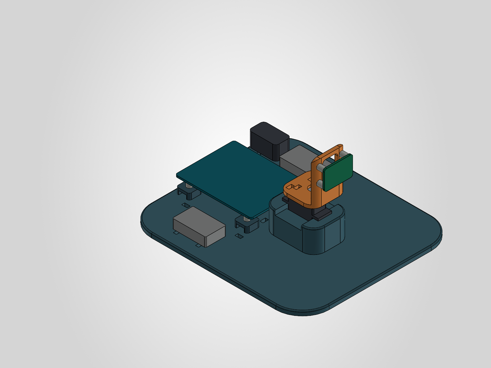
Engineering notes
MECHANICS → ACQUISITION → ANALYSISThe approach
A positional servo rotates a VL53L1X sensor. An Arduino UNO R4 coordinates movement and fresh distance measurements, then sends data over USB to a Windows display for visualization, recording, and replay.
Current work
Native CAD, firmware, a Python/Qt display, and calibration and test plans are available. The project verification record documents 66 passing software tests and successful compilation for both UNO R4 variants.
What comes next
Confirm component dimensions, print fit coupons, assemble the scanner, and calibrate against known distances and angles. Planned tests cover repeatability, target materials, scan timing, and disconnect behavior.
Existing display demonstrations use synthetic data. Physical range, pointing accuracy, fit, and scan performance are unverified. This is an indoor desktop instrument.
Designed measurement chain
- Servo sweepPosition & settle
- ToF sensorFresh range reading
- UNO R4Timestamp & transmit
- Windows display2D coordinates & scan
- Data recordRaw log & replay
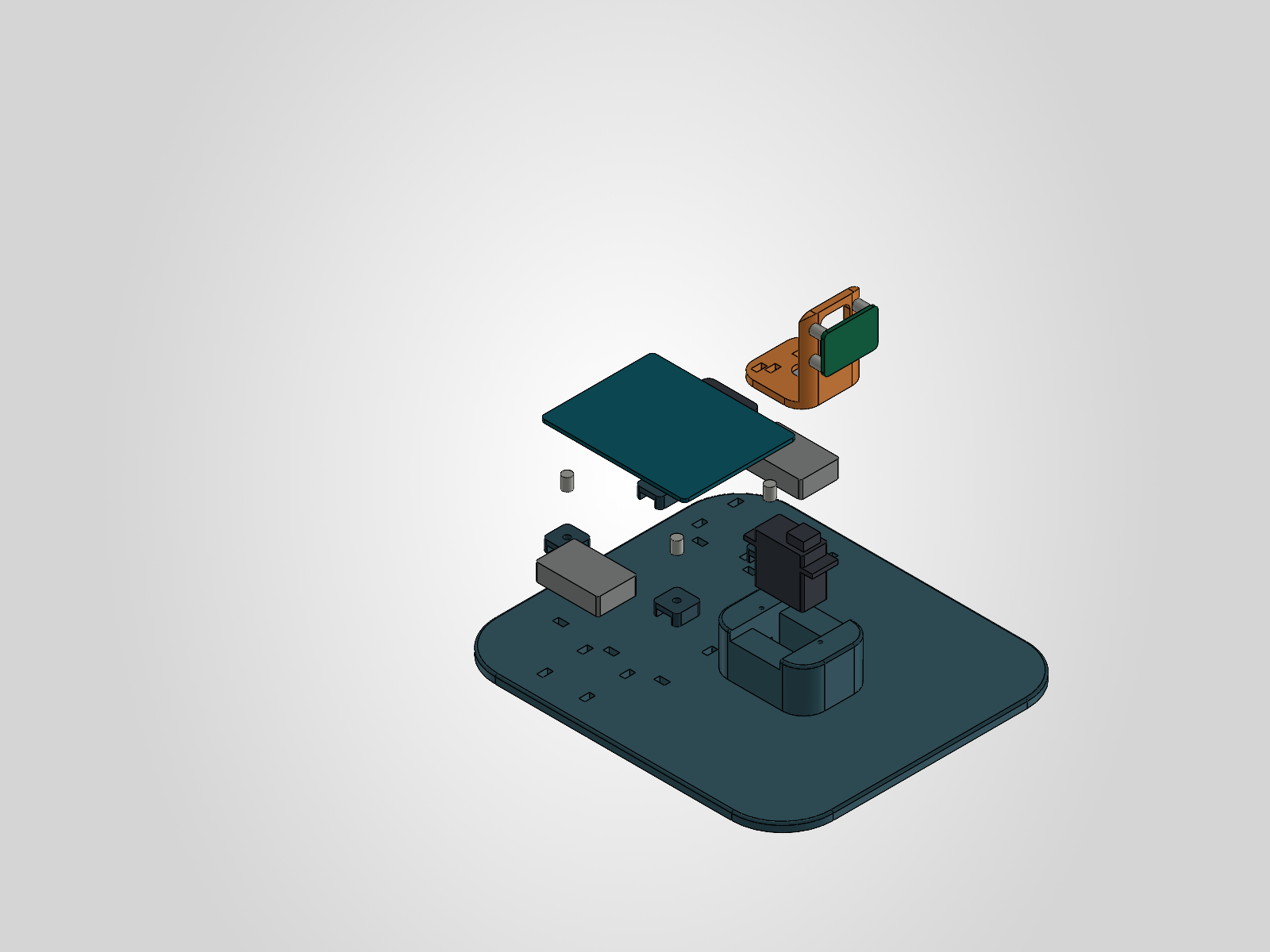
Assembly, step by step.
Photos of the printed parts, wiring, and finished bench setup will be added here.
Photos pendingThe first real scan.
A video of the physical scanner and live display will be added after bring-up and calibration.
Demo video pending